

Service
Surveys and Measurements
For new maritime projects, it is essential to understand the current maritime traffic conditions.
Understanding the actual conditions of ship motions while moored is also key to finding solutions.
At Japan Marine Science, we leverage our extensive practical experience and advanced technical capabilities to conduct various surveys, including vessel traffic, ship handling, and hull motion analysis.
01
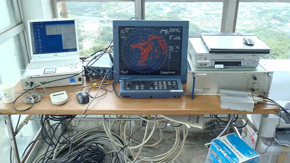
Vessel Traffic Survey
Purpose
- Understanding the current traffic environment in ports and sea areas for maritime projects (such as port planning, route planning, bridges, and offshore airports)
- Predicting navigation and impacts after project completion
Details
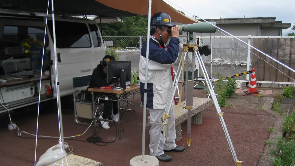
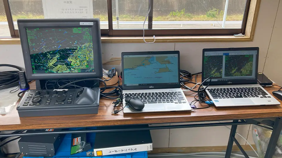
We use our own radar and AIS data to track vessel movements. For vessels not identifiable by AIS, our maritime experts conduct visual observations to obtain accurate data. These data help us understand the current use and congestion of sea areas. Based on the survey data, we can also run various simulations to predict navigation and impacts after project completion.
Achievements
We have conducted more than 250 vessel traffic surveys over the past 30 years. Our surveys have been used in major national projects such as the Honshu-Shikoku Bridge and major offshore airports (Kansai, Chubu, Haneda, Kobe). We are also capable of handling overseas projects.
About AIS Analysis
AIS (Automatic Identification System) analysis is used to understand vessel traffic conditions. With the mandatory installation of AIS, long-term surveys and AIS analysis over wide areas such as bays and coastal waters have become possible. Japan Marine Science has experience conducting AIS analysis in Tokyo Bay, Ise Bay, Osaka Bay, along the Japanese coast, and at overseas ports. We can also analyze specific ship maneuvers, such as berthing and unberthing. For surveys related to land reclamation and offshore construction, we recommend combining radar and AIS analysis.

Examples of Survey Items
01
Track status, track density, track position distribution, navigation speed
02
Number of vessels by type and model, number of vessels by time zone
03
Anchored vessel positions, operating fishing vessel positions, pleasure boat movement positions
04
Others
※We adjust the survey scope, points, and analysis items according to your objectives and budget, and propose the most suitable survey method.
02
Hull Motion Measurement
Purpose
- Understanding the actual hull motion while moored
- Preventing mooring line breakage and cargo operation suspension
- Improving cargo handling efficiency
- Reducing motion while moored and enhancing safety
Details
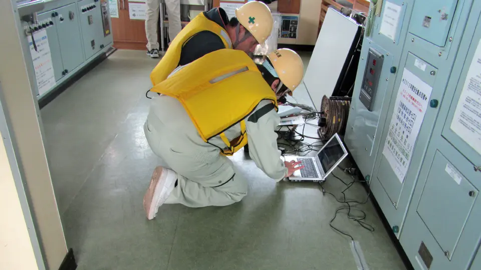
We install motion measurement devices equipped with high-precision GPS sensors and analysis systems on moored vessels to measure hull motions (sway, surge, heave, roll, pitch, yaw). Wave measurements are also conducted as needed. Based on these results, we analyze the causes of motion and propose measures to strengthen mooring. The effectiveness of these measures can then be verified through mooring motion simulations.